Before taking a closer look at the outbuildings, I thought it'd be useful to set the scene with a look of how the complex has developed over the past 100 years (well, about 90) based on plans we were given by the previous owners.
 |
| Lageplan from February, 1922. |
In 1922, the then owner had applied to extend the barn (the extension marked in red on the plan to the right shows the planned extension to the barn, 179), so we have a general plan of the lands immediately surrounding the house from the planning application. Those plots of land and buildings marked as 179 were part of the property (I've shaded out everything else to make it clearer). Bearing in mind that this was a working farm, it seems small, but we know there were other land holdings nearby, and indeed these were still part of the overall property till we bought the house and immediate surrounds. The corridor marked by the two parallel lines at the bottom of the plan is a small stream. The building, marked 180, was another barn owned by the neighbour. Access to the house and the barns was via a small way, just leading left of the neighbour's barn. It's also interesting to note the little extension at the back of the main house. The current extension is wider than this, but it shows that there was something there before. In fact, this was a bake house, something the previous owner had mentioned, but we hadn't realised how important a part of the house this was till we saw another plan from 1937 that shows the house still divided into two separate halves (note no doors between the halves, and still two sets of stairs, one of which is now gone), and a Backkueche in one.
 |
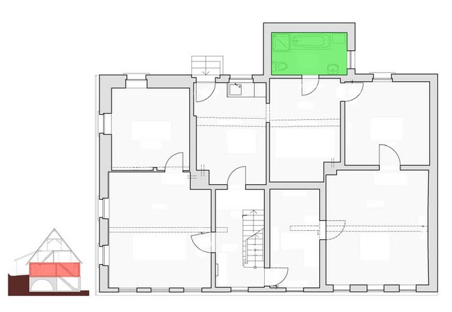
| Floor plan of 1st floor, March 1937. |
 |
| Lageplan from March, 1937. |
It's odd that the ground plan in 1937, shown below, doesn't include the barn extension that was planned in 1922, but we know from later plans that it was most certainly extended, but we'll take a look at the development of the barn in another post. Perhaps plans were not being updated during the war years. The 1937 plan we have was for other works on the main house (a new chimney, and we think new windows on the eastern gable), so the extent of the barn was not essential to the planning.
 |
| Lageplan from March, 1960. |
By 1960, the property boundaries had simplified considerably, between exchanges of land and a general straightening of boundaries, presumably as the lands around this area were, and indeed still are, part of a
Flurbereinigungsgebiet - a rural land consolidation area where slivers of land are exchanged to simplify borders. We have a ground plan because there was yet another application to extend the barn. This time, the adjoining barn of the neighbour (shaded in yellow), and the accompanying plot of land on which it sat, was bought, and the older barn demolished to build an extension for stalls to the barn, which by this time has already been considerably extended. We don't know what the smaller building to the west, also shaded yellow, was, but it was probably knocked down at the same time. Access to the house at this time was still via the small "Weg". By now, the stream may have been partially covered, as it is today. We don't know when the access road at the back of the property dates from, as it was not shown in any of the earlier plans, but it provides a decent access to the land behind the house.
 |
| Lageplan from December, 2010. |
Not much has changed to the boundaries since then, but the current plan shows the extent of the barn as it is today, more or less three times the size of the original footprint. As a former surveyor, I also have to laugh that the extension to the house (Whs - Wohnhaus) has still not been updated since 1922, as the "new" extension that replaced the former oven is actually
twice the width. The biggest change seems to be access, as the former Weg which approached the house at an angle is now a straight road running north-south (and we own part of the paved street).
In total, the plot of land is just short of 3,000 square metres, or about 3/4 of an acre (unless it's an Irish acre). It feels bigger, especially when contemplating cutting the grass.


I have a book which claims to show you how to be practically self-sufficient on a third of an acre - if you fancy a copy!!
ReplyDeleteWe'll live like kings on this then! :D I've lots of ideas about what to do "out back", but it'll take a long time to whip it into shape (there's a fair slope on it). Veggies and fruit for sure, hops will come at some stage, and maybe chickens.
ReplyDeleteI'll do a little tour in a later post. We've got some pretty old fruit trees, but they might be cider apples (that's also ok! :D).
What's the book called?
It is "The Backyard Homestead":
ReplyDeletehttp://www.amazon.de/Backyard-Homestead-Produce-Food-Quarter/dp/1603421386/ref=sr_1_1?ie=UTF8&qid=1297636724&sr=8-1